
Table of Contents
- Introduction: A Map That Tells Stories, Not Just Locations
- What Is the Padlet Immigration Map?
- Why It Matters: The Human Side of Immigration
- How Padlet Works: A Brief Overview
- Bringing Migration Stories to Life with Padlet
- Classroom Magic: How Teachers Are Using Padlet Immigration Maps
- Real-Life Use Cases: Students, Families & Histories
- Step-by-Step Guide to Creating a Padlet Immigration Map
- Benefits for Educators, Students & Communities
- Digital Literacy & Empathy: Two Birds with One Map
- Common Challenges & How to Overcome Them
- Best Practices for an Engaging Padlet Immigration Map
- Padlet vs Other Tools for Story Mapping
- Feedback from Students and Educators
- Why the USA Loves This Tool
- The Future of Immigration Education in the Digital Age
- Final Thoughts: When Maps Speak Human
- FAQs
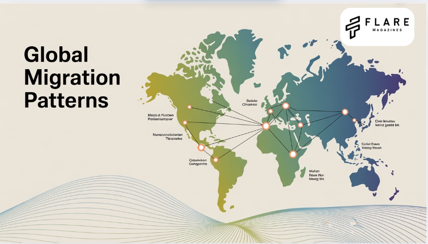
A Map That Tells Stories, Not Just Locations
Imagine opening a digital map — not to find restaurants or roadways — but to discover stories of survival, family, dreams, war, peace, and hope. This isn’t your ordinary geography lesson. This is the Padlet Immigration Map, where learning meets empathy, and history becomes personal.
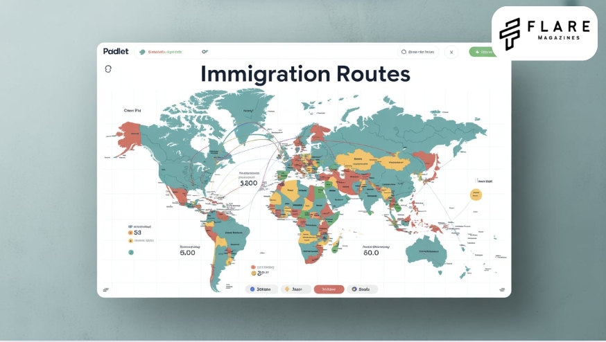
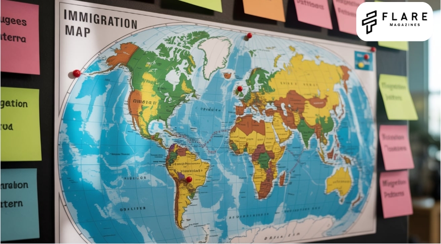
What Is the Padlet Immigration Map?
The Padlet Immigration Map is a visual storytelling tool that allows users to mark locations on a digital world map and attach stories, images, audio, videos, or written text related to immigration. Primarily used in educational settings, it enables students to document their own family’s migration history or explore global immigration patterns with a personal lens.
Key Features:
- Interactive World Map
- Story, Image, and Video Uploads
- Collaborative Posting by Multiple Users
- Easy Sharing and Privacy Controls
- Timeline Integration (optional)
Why It Matters: The Human Side of Immigration
Immigration is more than just border crossings. It’s about people — individuals and families navigating new lands, cultures, languages, and systems. But in textbooks, immigration often becomes statistics and timelines rather than emotions and names.
The Padlet Immigration Map brings back the human element.
How Padlet Works: A Brief Overview
Padlet is a digital platform that allows users to create boards (called Padlets) to post and share content in real time. For immigration maps:
- Select the “Map” template.
- Invite students or users.
- Add pins for countries, cities, or towns of origin.
- Attach narratives — written or multimedia — to each pin.
- Allow comments, collaboration, and reflection.
No coding needed. Just creativity and curiosity.
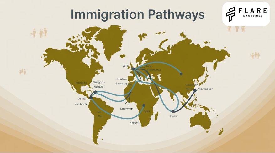
Bringing Migration Stories to Life with Padlet
Let’s say a student named Daniel adds a pin to his family’s town in El Salvador. With that pin, he uploads:
- A voice memo from his grandmother.
- A scanned photo of their old house.
- A paragraph describing the journey to Texas.
Another student pins Vietnam. Another one, Somalia. Another one, Poland.
Suddenly, the classroom isn’t just learning history — they’re building it.
Classroom Magic: How Teachers Are Using Padlet Immigration Maps
Educators across the USA have embraced Padlet Immigration Maps as part of:
- Middle and High School Social Studies
- ESL (English as a Second Language) Programs
- Civics and American History Units
- Diversity & Inclusion Initiatives
- Heritage Month Celebrations
Example Project:
In Ms. Ramirez’s 8th-grade class in Chicago, students created a Padlet map titled “Where We Come From”. The result?
“It was the first time my students cried while presenting a project — not because they were sad, but because they felt seen.” – Ms. Ramirez
Real-Life Use Cases: Students, Families & Histories
Here’s how real people are using the Padlet Immigration Map:
Step-by-Step Guide to Creating a Padlet Immigration Map
- Create a Padlet Account (free & paid versions)
- Choose the “Map” Format
- Name Your Padlet (e.g., “Our Immigration Stories”)
- Customize Map Style (light/dark, map type)
- Add First Pin — Click on any location
- Upload Story/Text/Image
- Repeat for Each Student or Story
- Adjust Privacy & Share
Bonus: Add tags like “#EllisIsland” or “#FamilyRoots” for easy sorting.
Benefits for Educators, Students & Communities
For Educators:
- Engages visual, auditory, and kinesthetic learners.
- Promotes empathy and cultural understanding.
- Meets Common Core and state standards.
For Students:
- Builds digital literacy.
- Connects identity with history.
- Encourages peer-to-peer learning.
For Communities:
- Preserves family stories.
- Strengthens intercultural dialogue.
- Creates a digital archive of lived experiences.
Digital Literacy & Empathy: Two Birds with One Map
In a world of screens, how do we teach students to care?
Answer: Pair digital tools with human stories.
- Typing grandma’s story builds typing speed.
- Uploading a voice recording builds tech skills.
- Reading a refugee’s journey builds compassion.
The Padlet Immigration Map doesn’t just teach how to use tools. It teaches why stories matter.
Common Challenges & How to Overcome Them
| Challenge | Solution |
|---|---|
| Students hesitant to share | Allow anonymous or pseudonym posts |
| Low digital access | Use shared school devices or printed templates |
| Privacy concerns | Use Padlet’s password-protected sharing options |
| Overwhelming project scope | Break into weekly themes (e.g., “Week 1: Ancestors”) |
Best Practices for an Engaging Padlet Immigration Map
- Use multimedia: Combine photos, voice, and video.
- Set clear themes: e.g., “Why They Moved” or “First Impressions of America”.
- Rotate roles: Let students moderate or comment.
- Celebrate diversity: Include indigenous, voluntary, and forced migration stories.
Padlet vs Other Tools for Story Mapping
| Tool | Strength | Weakness |
|---|---|---|
| Padlet | Simple, collaborative, secure | Limited advanced analytics |
| Google My Maps | Customizable layers | Less intuitive interface |
| StoryMapJS | Great for chronological stories | Steeper learning curve |
| Canva | Beautiful visuals | Not map-based |
Winner for classrooms: Padlet.
Feedback from Students and Educators
“For the first time, I could show where my mom came from and why she worked so hard for us.” — 10th Grade Student, California
“My quietest student opened up more than ever before.” — 6th Grade Teacher, New York
Why the USA Loves This Tool
America is a nation of immigrants. The Padlet Immigration Map resonates because it mirrors the country’s own journey — from Ellis Island to present-day border debates, from African American migration to modern refugee crises.
This tool allows young Americans to connect the macro (national immigration policies) with the micro (their family’s story).
The Future of Immigration Education in the Digital Age
The Padlet Immigration Map is just the beginning.
- AI integrations could help auto-translate stories.
- AR/VR capabilities may allow virtual walks through family neighborhoods.
- Blockchain archiving can preserve stories for generations.
In 10 years, kids might explore immigration through holograms — but the stories will still be human.
Final Thoughts: When Maps Speak Human
The Padlet Immigration Map does more than show “where.” It asks “why,” “how,” and most importantly, “who.”
And in every pin, we find more than geography — we find legacy.
FAQs
1. Padlet Immigration Map People over Papers
The “People over Papers” Padlet immigration map highlights personal migration stories to emphasize humanity over legal documentation in immigration debates.
2. Padlet Immigration Map ICE
This Padlet map shares user-submitted data or stories related to U.S. Immigration and Customs Enforcement (ICE) activity, often used for advocacy or awareness.
3. Padlet Map
A Padlet map is a digital board that allows users to drop pins on a world map and attach stories, images, or videos for collaborative learning and sharing.
4. Padlet Immigration Map Reddit
On Reddit, users discuss and share Padlet immigration maps for educational projects, activism, or tracking real-time immigration-related developments.
5. Padlet ICE Map Link
The Padlet ICE map link usually directs to a community-created, real-time board tracking ICE activity or immigration checkpoints, shared across activist networks.